
 Image 1 of 3
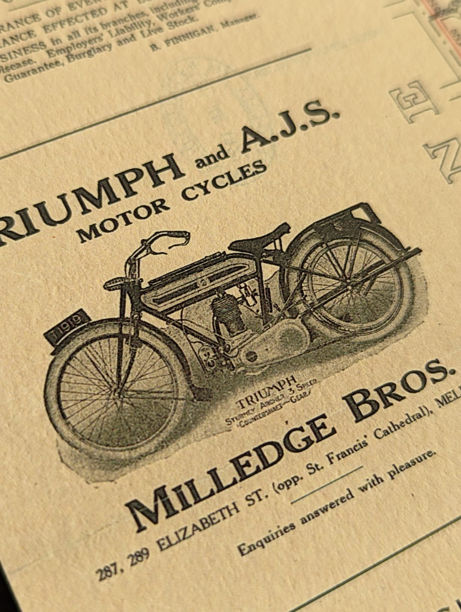 Image 2 of 3
 Image 3 of 3
This vintage map of South Melbourne and Albert Park shows the area starting at the Yarra, following St Kilda road down to beautiful Albert park lake with Port Phillip Bay to the south. Included in this historic depiction is the Kerferd road pier, the Middle park and South Melbourne baths. This map shows the original rail line, now converted to light tram rail. Also shown is the famous South Melbourne market and Victoria military barracks.
Available in 11x14 (inches) or 16x20 (inches) or 600x800 (mm) this print has been professionally restored to remove major blemishes, creases and marks from the original scanned document. Minor imperfections will remain to provide the character this vintage map exudes.
Prints are available as full bleed prints or with a white border. All frames are made in Melbourne and available in Black, White, Tasmanian Oak or Victorian Blackwood.
All prints are made to order - allow 4-7 business days for order to be dispatched after payment is received.